
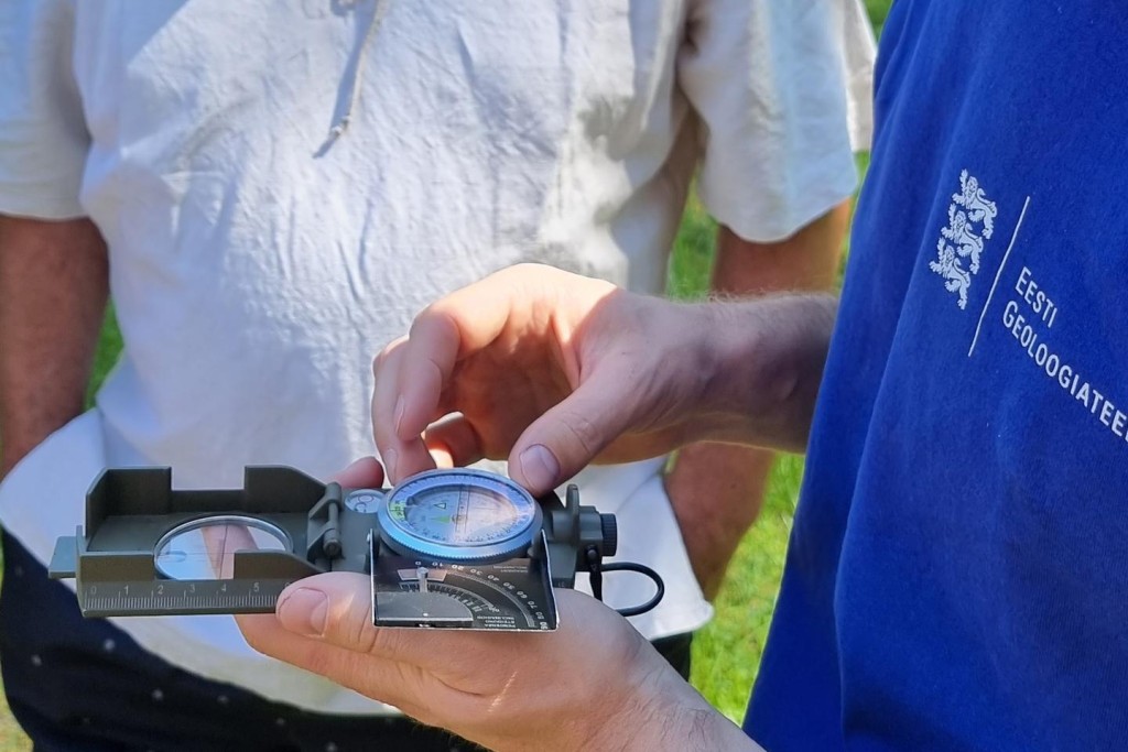
The Geological Survey of Estonia (GSE) conducted the first stage of the review and organisation of geological information on Estonian drill cores managed by the GSE for the purpose of ensuring better access to information on drill cores for further scientific and applied research.
The Geological Survey of Estonia completed the project “Improving the conditions for preservation of geological information (Stage 1)” which was funded by the Environmental Investment Centre (SA Keskkonnainvesteeringute Keskus) with 111,098 euros in 2019–2021 under the circular economy programme.
Under the project, the GSE reviewed 717 boreholes, 539 of which were drilled in the crystalline basement and 179 of which were drilled in the rocks of the basement complex of Lower Paleozoic sedimentary rocks. All the reviewed drill core boxes were organised and additional markings were added where necessary. In addition, 5,370 drill core boxes stored in Arbavere were photographed as part of the project.
During project implementation, the existing manuscripts and published materials on the reviewed drill cores were compiled for the establishment of the database. The existing materials in manuscript form (including gamma ray logs, descriptions of thin sections, stratigraphic columns, etc.) were scanned. During the examination of the reports stored in the Geological Archive, reviewed descriptions of drill cores and files containing graphic information about drill cores (stratigraphic columns, map materials, geological cross-sections, etc.) were separated from the PDF files of reports.
More than 3,000 drill core boxes from the old and obsolete depositories of Arbavere as well as drill cores that were stored in the outdoor areas of Arbavere in previous decades were brought to the new and modern depositories of Arbavere Research Centre. In addition, approximately 4,800 drill core boxes were transported to Arbavere from Keila depository as part of the project.
The dataset for the earth’s crust which was compiled and digitised during the project is now accessible to all via a special map application.

