
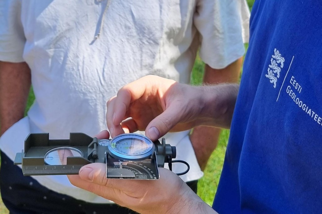
During the summer months it is possible to bump into our fieldwork geologists all over Estonia – both at sea and on land, and equally in the Counties of Viru, Võru, Rapla, and Pärnu. There are several large projects (LIFE IP CleanEst and Groundeco) and research endeavours going on at the Geological Survey of Estonia. As every year, our mapping geologists collect material for compiling the geological base map of Estonia.
What are the activities during the fieldwork season? Our hydrogeologists control the groundwater monitoring points and assess their suitability for monitoring. Groundwater and surface water samples are taken, geophysical measurements of drilled wells and pumping tests are made.
The motivation for the fieldwork of the geologists at our Department of Geological Resources is a study to be accomplished by the end of the year, “The distribution of construction minerals, their mining and use in the Rapla and Pärnu Counties”. The target is to analyse within the Rapla and Pärnu Counties construction mineral resources and their use, assess the current security of supply and potential for supplying construction minerals until the year 2030, and with prospect until the year 2050. In July, the geologists got familiar with the circumstances at the most important limestone and dolostone quarries of the Rapla and Pärnu Counties, in order to gain an overview of the resources mined at these quarries.
Our mapping geologists are active in fieldwork in the southern part of the Pärnu County, within the map sheets of Häädemeeste and Ikla, indirectly following the route of Rail Baltic. As a result of the fieldwork, a set of maps will be prepared during the winter. Its base maps will be the ones on the bedrock, the bedrock relief, the Quaternary cover and the thickness of the Quaternary cover at the scale 1:50 000.
The geologists of our Department of Marine Geology and Geophysics are at the moment occupied with geophysical profiling for mapping of the sea bottom of the Suur Väin Strait (Virtsu map sheet). The work is carried out with the EGT research boat, using bottom profilers with different (seismo)acoustic frequency bands and a side-scan sonar for resolving the areal distribution of sediments. After mapping the Suur Väina Strait, analogical operations follow at the Tallinn and Muuga Bays.
Fieldwork is also a good example of co-operation between EGT and universities. Field practise of geological mapping of both the Tartu University and the Tallinn University of Technology took place in this summer within the Häädemeeste map sheet with the co-supervision by the EGT geologists. At the end of July, EGT geologists tested in co-operation with Tartu University geologists the FrEM method, which is used for mineral exploration in Finland. The Groundeco project in the Võru County is carried out in co-operation with geologists from the Tallinn University.

