
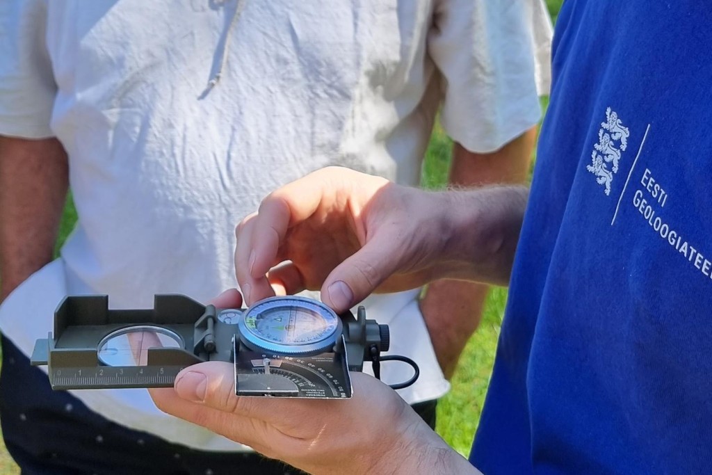
An information day of the Geological Survey of Estonia took place in Kärdla, Hiiumaa on 28 February. Senior geologist Kalle-Mart Suuroja and Sten Suuroja, the head of the Department of Geological Mapping and Geological Data presented the geological structure of the Hiiumaa island to local audience.
The motivation of the occasion was to present the locals the set of geological map sheets covering Hiiumaa, which are under construction at EGT. The set of five digital large scale (1:50 000) map sheets base on earlier geological investigations and additional fact-check during fieldwork last summer. By now the following maps are completed: bedrock relief, bedrock geology (together with cross-sections) and thickness of sedimentary cover. The report Explanation to the maps will be finished by spring. It will provide a detailed overview on the geological structure of Hiiumaa, mineral resources and other remarkable geological features – Kärdla meteorite crater, manifestations of petroleum and polymetals, mineral waters.
Sten Suuroja: “The Hiiumaa event is the first one of this type of occasion our survey has arranged. Why precisely Hiiumaa? The geologists have always been in good, friendly terms with Hiiumaa. Geological mapping of Hiiumaa was performed already during the 1970–1990s. As a result, a set of large-scale manuscript maps on geology and hydrogeology was compiled. New information that has piled up during the latest 25 years and supplementary field investigation during the summer 2018 are the basis for the new set of maps, large scale (1:50 000) digital geological-geophysical maps of Hiiumaa, together with an accompanying database.”
Approximately 40 residents of Hiiumaa attended the event and listened to the presentations with great interest.
The talks by Kalle and Sten can be seen here:
Geology of Hiiumaa
Oil in Hiiumaa

